Digital LandEcosystem
The complete platform for land management, powered by AI and GIS analytics from surveys to compliance.
Comprehensive Land Management
From initial surveys to ongoing compliance, our platform provides everything you need to manage vacant land properties with confidence and efficiency.
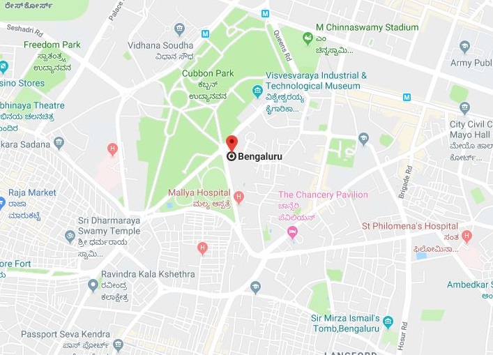
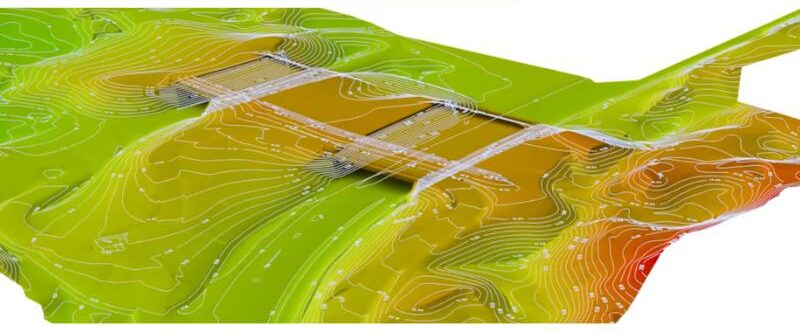
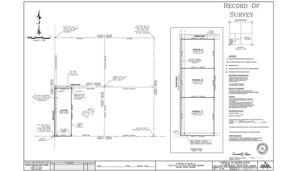
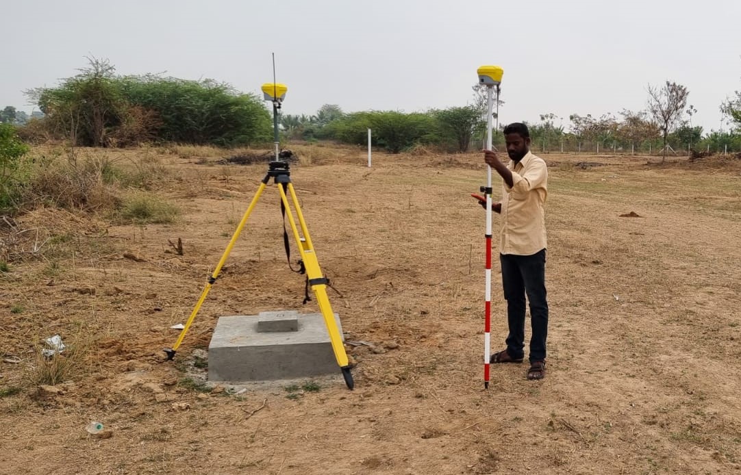
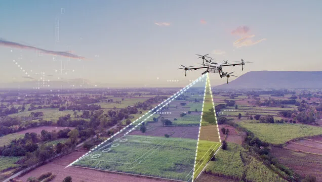
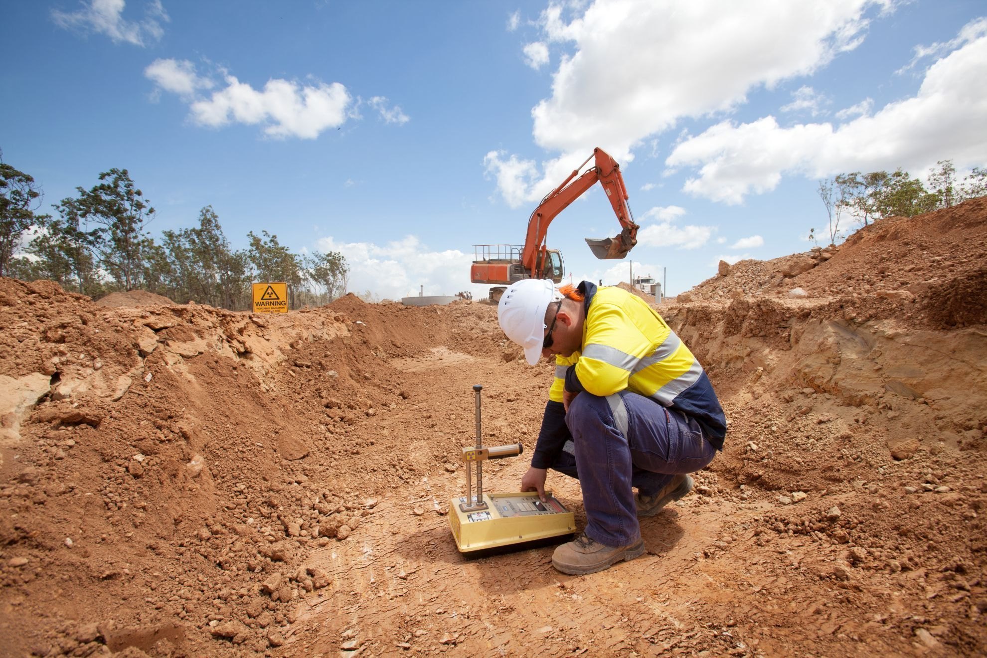
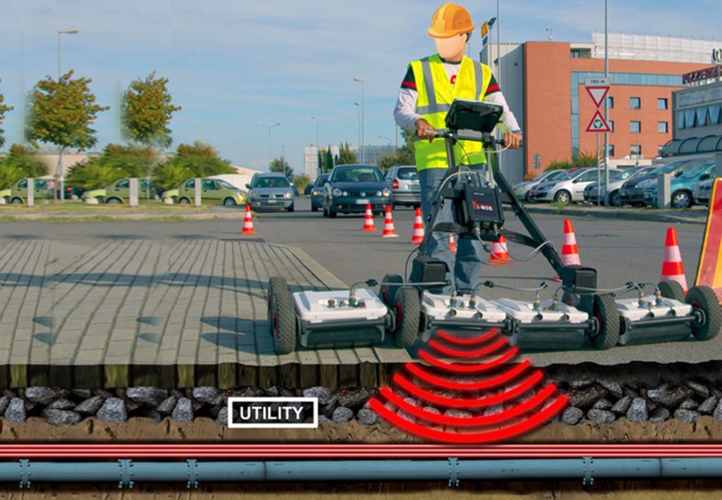
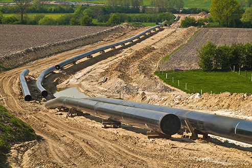
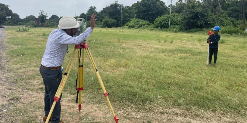
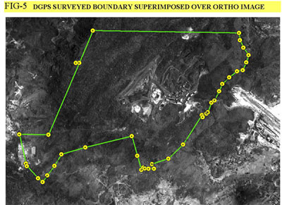
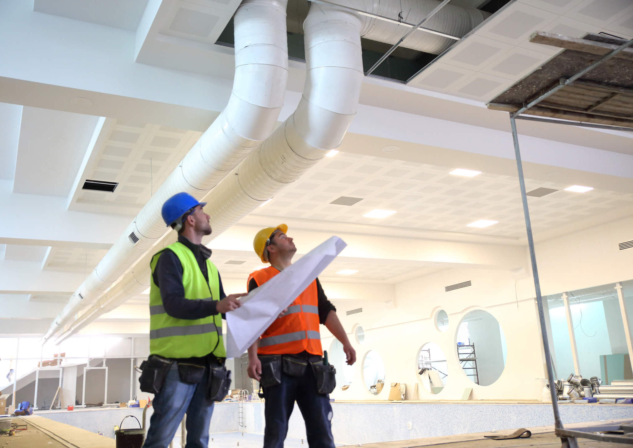
Land Surveys
Topographical, drone, and boundary surveys with precision mapping
Fencing Solutions
Complete fencing services from planning to installation
Security & Surveillance
Advanced monitoring and security systems for land protection
Document Management
Digital registry and compliance documentation system
GIS Analytics
Advanced geospatial analytics and predictive modeling
Asset Lifecycle
End-to-end property lifecycle management and oversight
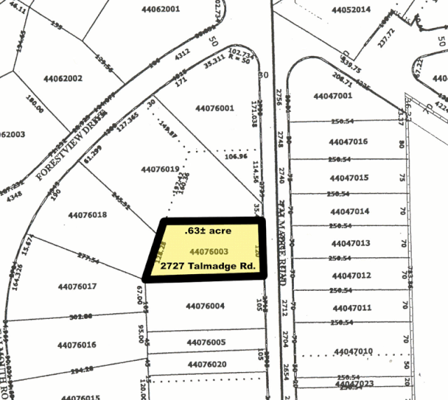
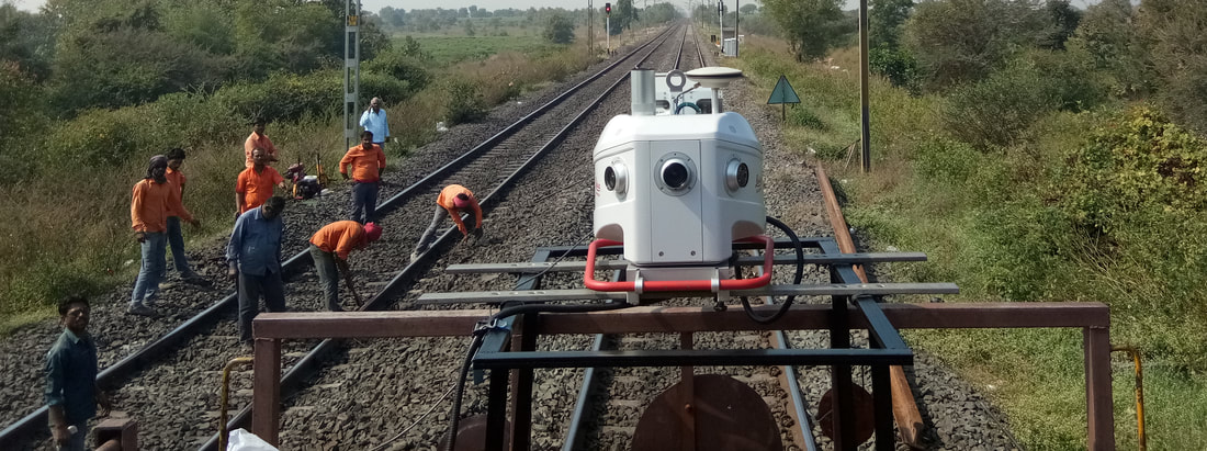
Survey Solutions
Advanced surveying technologies delivering precise measurements and comprehensive land analysis


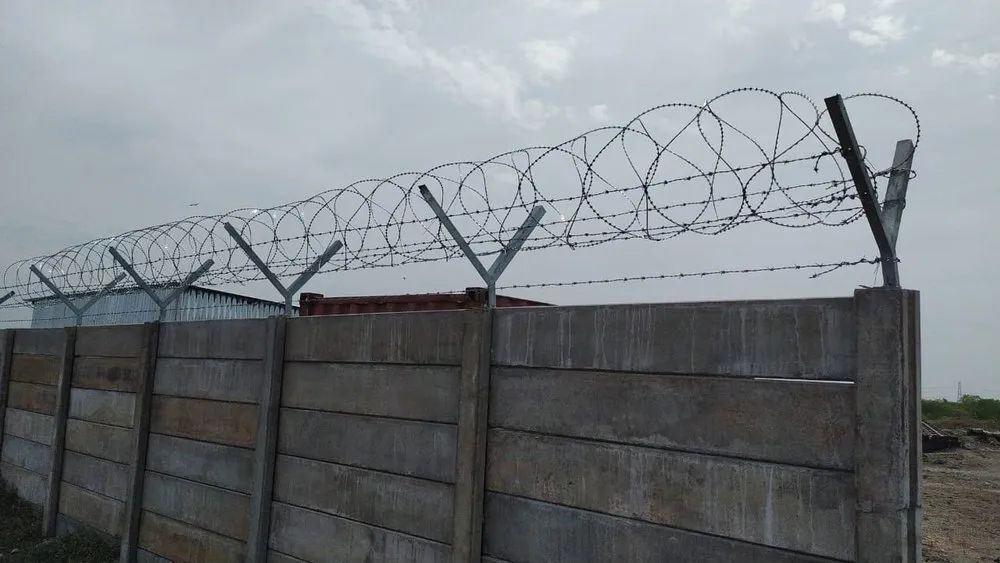
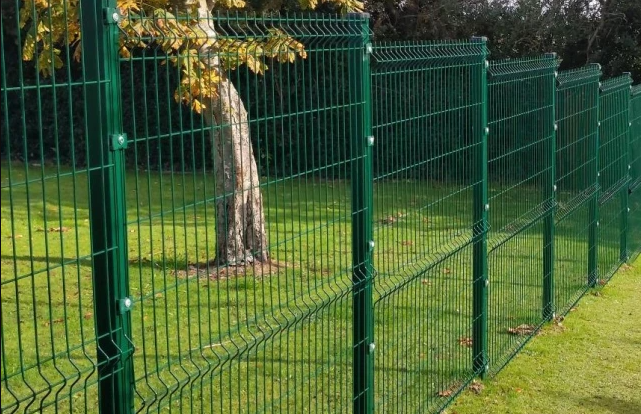
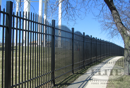
Fencing Solutions
Complete fencing services from design and material selection to installation and ongoing maintenance for all your land protection needs.
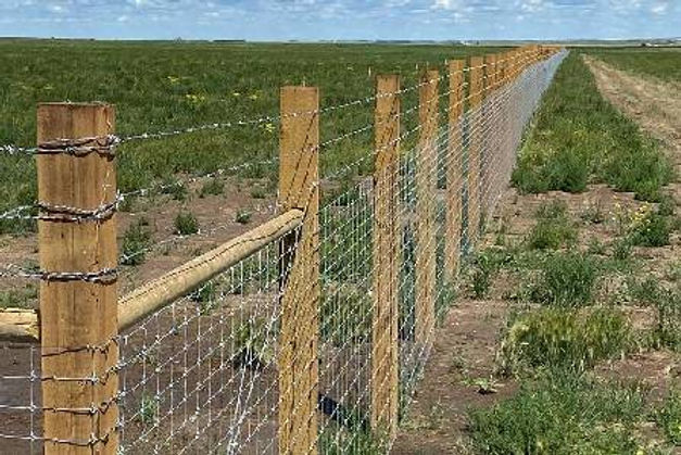
Agricultural Fencing
From ₹220/meter
Ideal for Indian farms to protect crops and livestock from stray animals and encroachments.
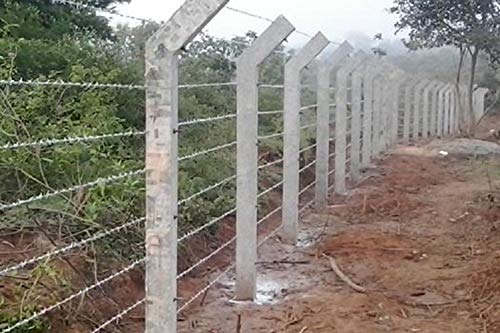
Barbed Wire Fencing
From ₹150/meter
Traditional fencing widely used in Indian villages and farms for basic security.
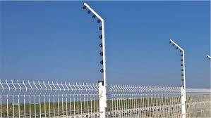
Solar Electric Fencing
From ₹480/meter
Shock-based fencing powered by solar energy for remote Indian areas with power issues.
Compound Wall Fencing
From ₹1200/meter
Permanent fencing for residential and industrial boundary security.
Mesh Fencing
From ₹350/meter
Used in parks, schools, and public spaces for both safety and visibility.
Industrial Fencing
From ₹650/meter
Robust fencing for factories, warehouses, and construction zones.
Smart Security Fencing
From ₹950/meter
IoT-enabled fencing with alerts, AI surveillance, and app control for urban homes.
Temporary Event Fencing
From ₹180/meter
Quickly deployable fences for weddings, festivals, and political events.

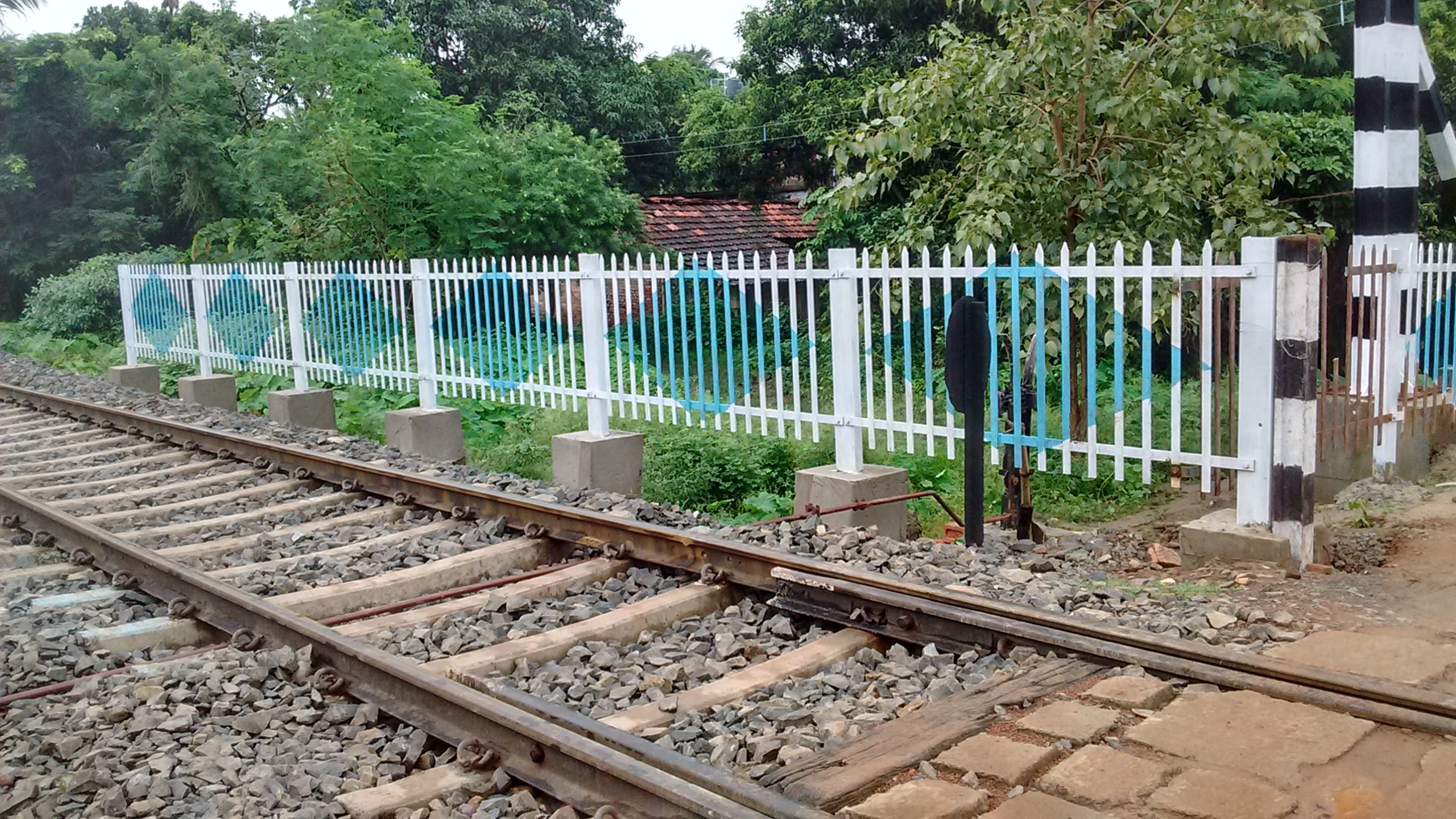
Railway Fencing
From ₹600/meter
Fencing compliant with Indian Railway standards to prevent trespassing.
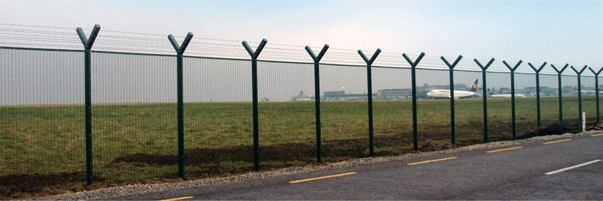
Airport Security Fencing
From ₹1100/meter
International-grade fencing for airports and defense installations in India.
Agricultural Fencing
From ₹220/meter
Barbed Wire Fencing
From ₹150/meter
Solar Electric Fencing
From ₹480/meter
Compound Wall Fencing
From ₹1200/meter
Mesh Fencing
From ₹350/meter
Industrial Fencing
From ₹650/meter
Smart Security Fencing
From ₹950/meter
Temporary Event Fencing
From ₹180/meter
Railway Fencing
From ₹600/meter
Airport Security Fencing
From ₹1100/meter
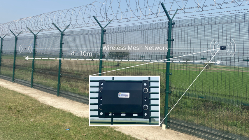
Security & Surveillance
Advanced security systems with AI-powered monitoring ensure your land assets are protected around the clock with instant threat detection and unprecedented response capabilities.
Security Dashboard
Live Camera Feeds
GIS Analytics Platform
Powered by Artificial Intelligence
Our advanced geospatial analytics platform combines AI and machine learning to provide unprecedented insights into land value, risk assessment, and market predictions for data-driven decision making.
Live Analytics Dashboard
Digital Property Registry
Our comprehensive digital documentation system ensures secure, verified, and instantly accessible property records with intelligent compliance tracking.
Secure & Compliant
Document Registry
Trusted by Industry Leaders
Our platform manages thousands of properties across diverse landscapes, ensuring compliance and maximizing value through data-driven insights.
Enterprise Ready
Scalable solutions for organizations of all sizes with robust security
AI-Powered
Advanced machine learning algorithms for predictive and prescriptive analytics
Compliance First
Built with regulatory requirements at the core for complete peace of mind
Ready to Transform YourLand Management?
Experience the power of SpaceGrid's comprehensive property intelligence platform with a personalized demo.
- Access to 40+ data layers and comprehensive property information
- AI-powered insights for smarter investment decisions
- Intuitive interface accessible on web and mobile
- 14-day free trial with no credit card required
Request a Demo
Fill out the form and our team will reach out to schedule a personalized demo.